The City of St. Joseph
Map Showing Area Referenced As Johnston's Mills, Village of Lakeview and St. Joseph
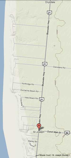
The area that became known as St. Joseph was a mix of three smaller, earlier communities that interchangeably represented the geographic area from immediately south of Benson’s Creek (beside the entrance to Moore Court) running north along either side of Highway 21 to Kippen Road.
Narcisse Cantin began developing plans for St. Joseph in 1896 after returning to the Village of Lakeview from seven years of living and working in Buffalo, New York. While in Buffalo, Cantin had run a cattle business and various other ventures, including generating interest in the possible development of a deep-water canal system.
Cantin named the town St. Joseph after the saint for which Cantin had a personal devotion. St. Joseph’s urban development was not Cantin’s primary objective, but rather a means to achieve other goals, specifically of creating a deep-water canal system that would see large-sized ships moving across the Great Lakes to the St. Lawrence Seaway and out to the Atlantic Ocean.
In Cantin’s own words, St. Joseph was to be "a drum to beat upon so that I might draw attention to my Great Lakes and to the Ocean Waterway project".
